Lufhereng Housing:
Greenfields Project
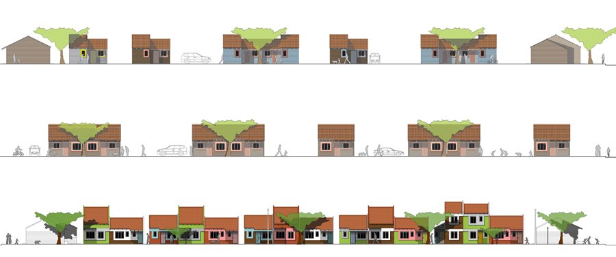
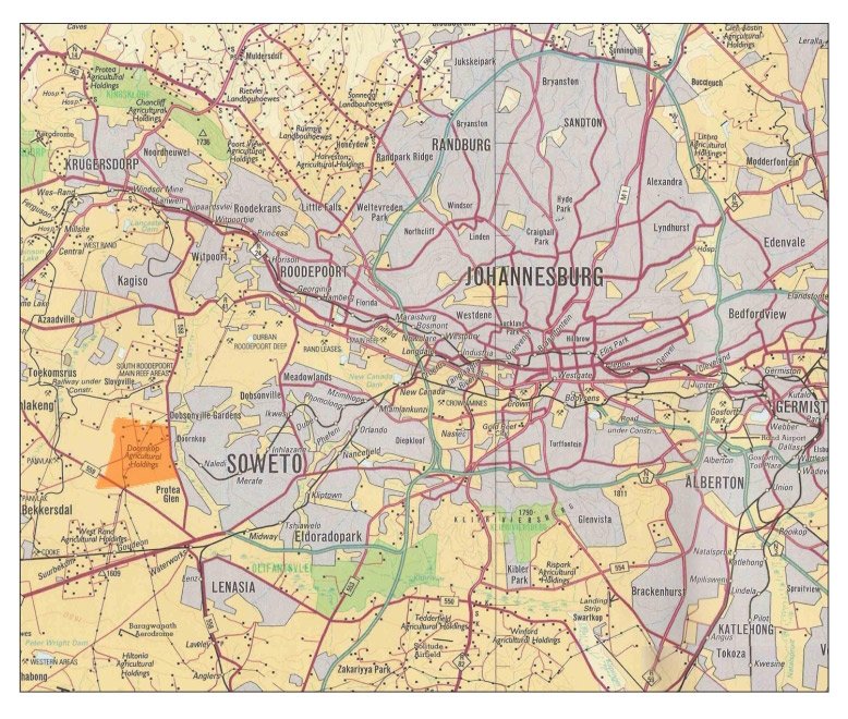
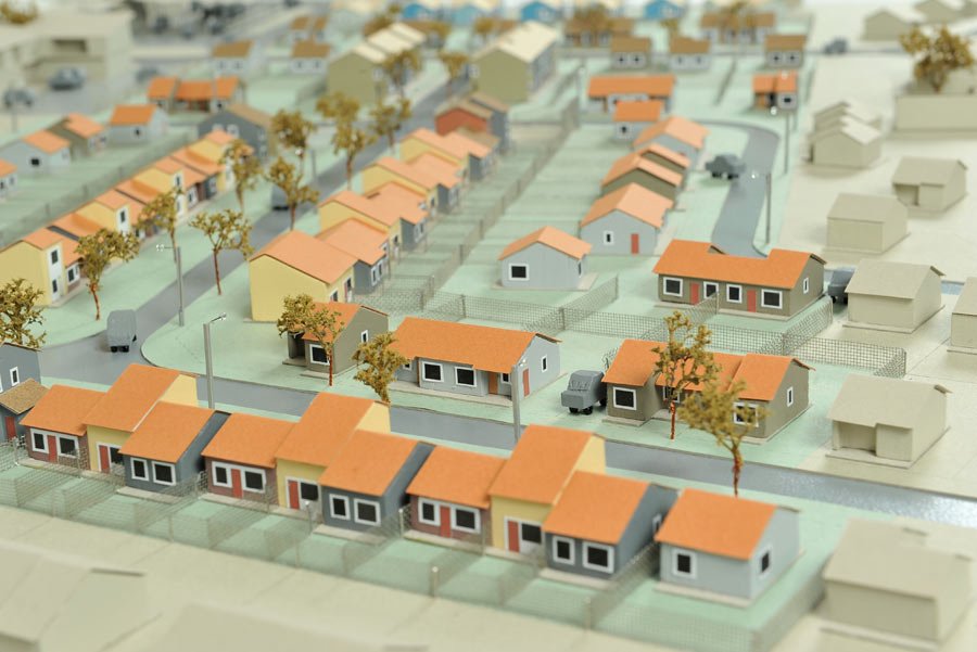
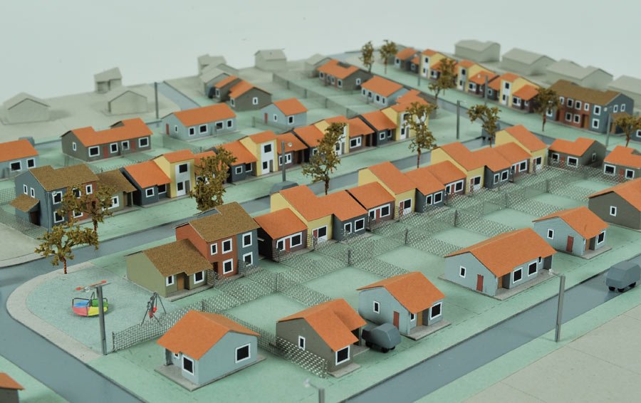
The Lufhereng Greenfields Project functions as an extension to the west of Soweto and is conceived as a residential area in which low, medium, and high-density housing is integrated with urban agriculture, transportation as well as social and commercial facilities.
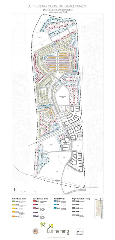
The initial brief required a move away from the typical township landscape towards a more socially and economically sustainable environment. Firmly locked into an RDP¹ / BNG² brief as well as severe geological constraints, it took six years to realise 1 200 subsidised houses out of a proposed 25 000 unit development.
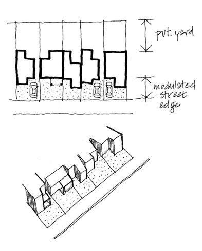
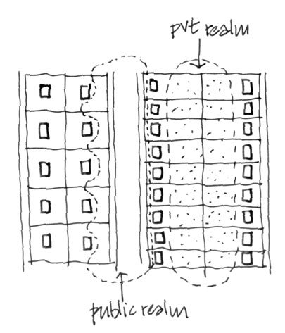
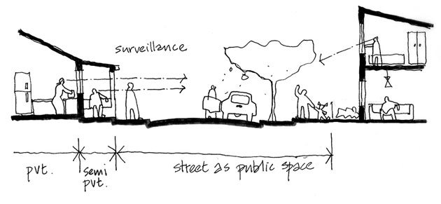
Our practice was involved from the inception of the project in 2004 drafting the Spatial Development Framework for the entire area as well as Urban Design Frameworks for the first phase. The houses depart from the RDP norm in order to provide a greater variety and better animation and surveillance of the street supported by thresholds in the form of verandas.


Carried out as kWA Urbanism comprising: 26’10 south Architects in partnership with Peter Rich Architects and Prof PG Raman
2610 Project team: Anne Graupner, Thorsten Deckler, Sue Groenewald, Stephen Reid, Carl Jacobzs, Janet Lauder, Thiresh Govender, Nadine Naidoo, Philippa Frowein, Michele Belamont, Marvin Thomas, Shameema Davids, Dustin August, Eugene Cloete
Featured in Abitare America (issue 1), Mexico, 2012
Featured in Digest of South African Architecture, 2011
Featured in Domus 949, Italy, 2011
Photographed by Conrad Judson, Nic Huisman, Iwan Baan (www.iwan.com)